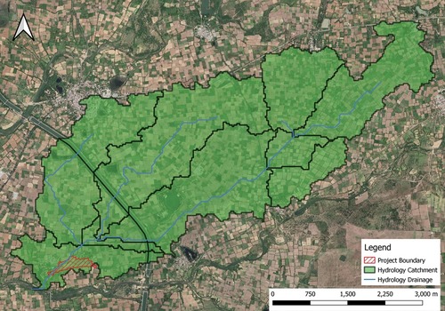

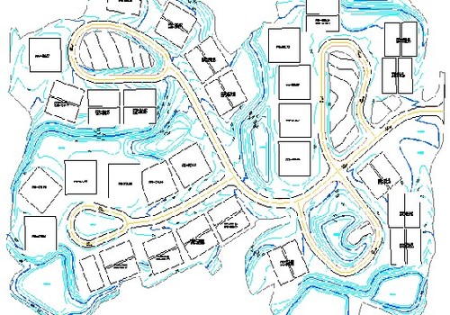


FLOOD STUDY
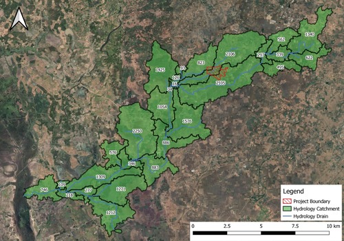
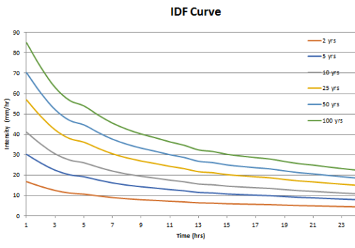
FLOOD STUDY
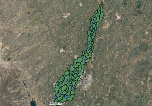
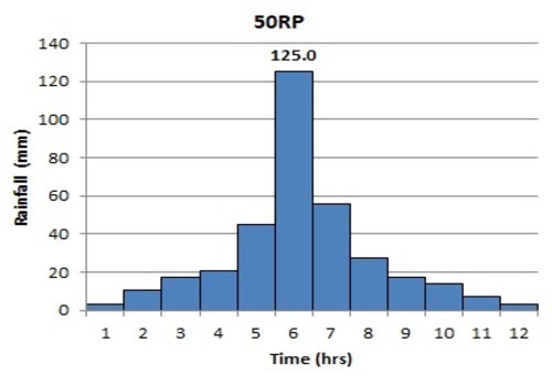
FLOOD STUDY
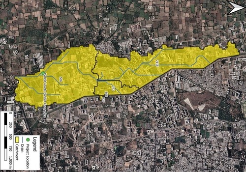
FLOOD STUDY
FLOOD STUDY
FLOOD STUDY