FLOOD Study
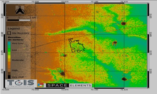
Flood analysis for manufacturing campus at Halol - Gujrat
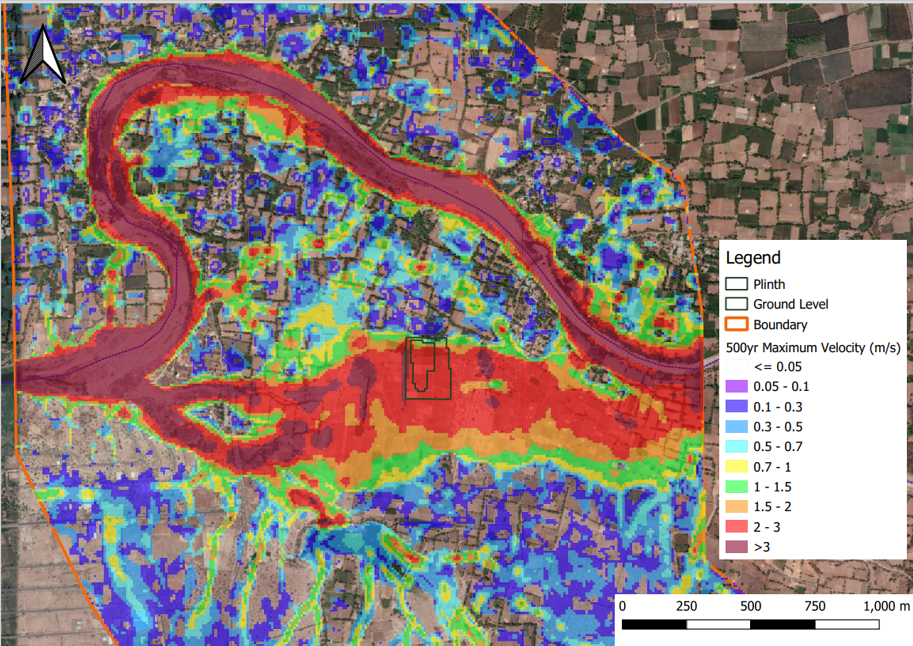
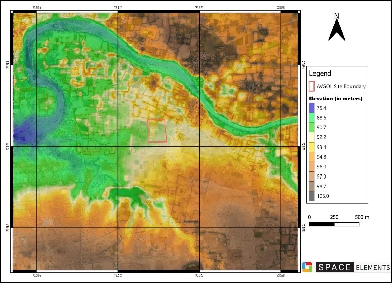
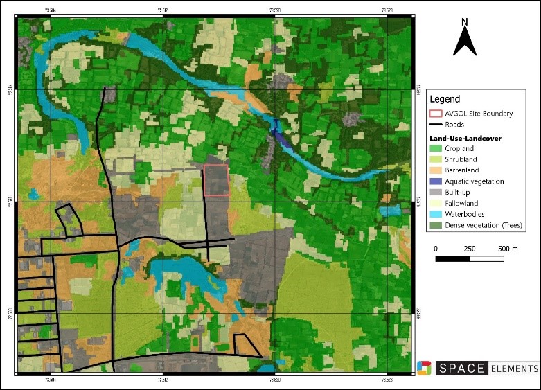
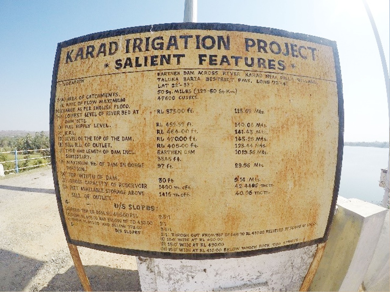
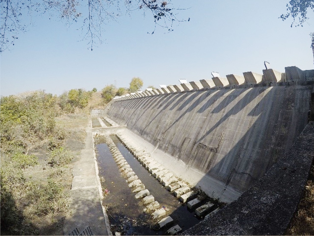
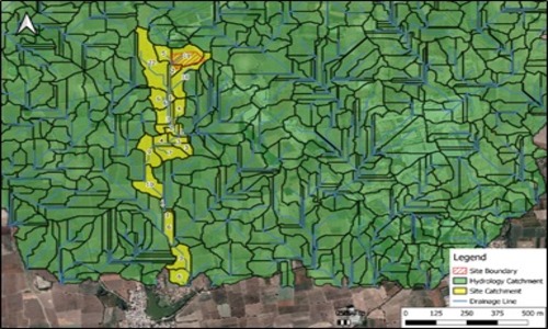
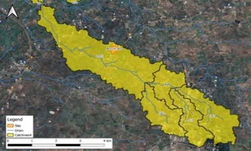
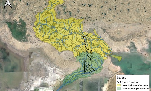
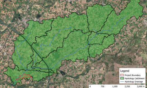
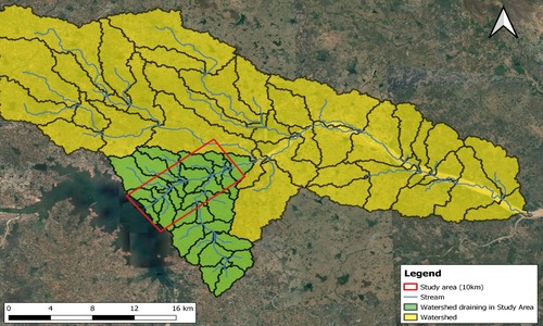
The primary objective was to know the effective regional hydrology and site hydraulics for the visualization of flood information and inundation data. The client intended to generate this data/ information to furnish to the insurance company to validate safe development levels and identify measures to mitigate business risk.
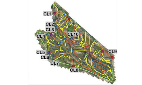
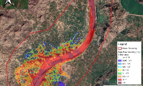
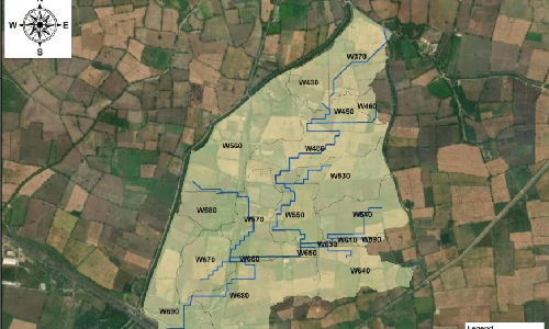
Maps have been generated to represent estimated peak water depth and peak water velocity generated from the pre-defined storm rainfall events for post-development conditions like the plinth level of a storage warehouse, mobility surface and other critical spaces of the study area. Study results and data are presented in various formats and scales for flood data based on land use and environmental conditions of the project area. The same will be used to provide solutions and recommendations for the prevention and mitigation of losses due to flooding and stormwater runoff.
Solutions may include flood gates and barriers, flood pumps, waterproofing, emergency power, permanently relocated equipment, flood defense systems, rainwater harvesting systems etc.
Our Projects

FLOOD STUDY
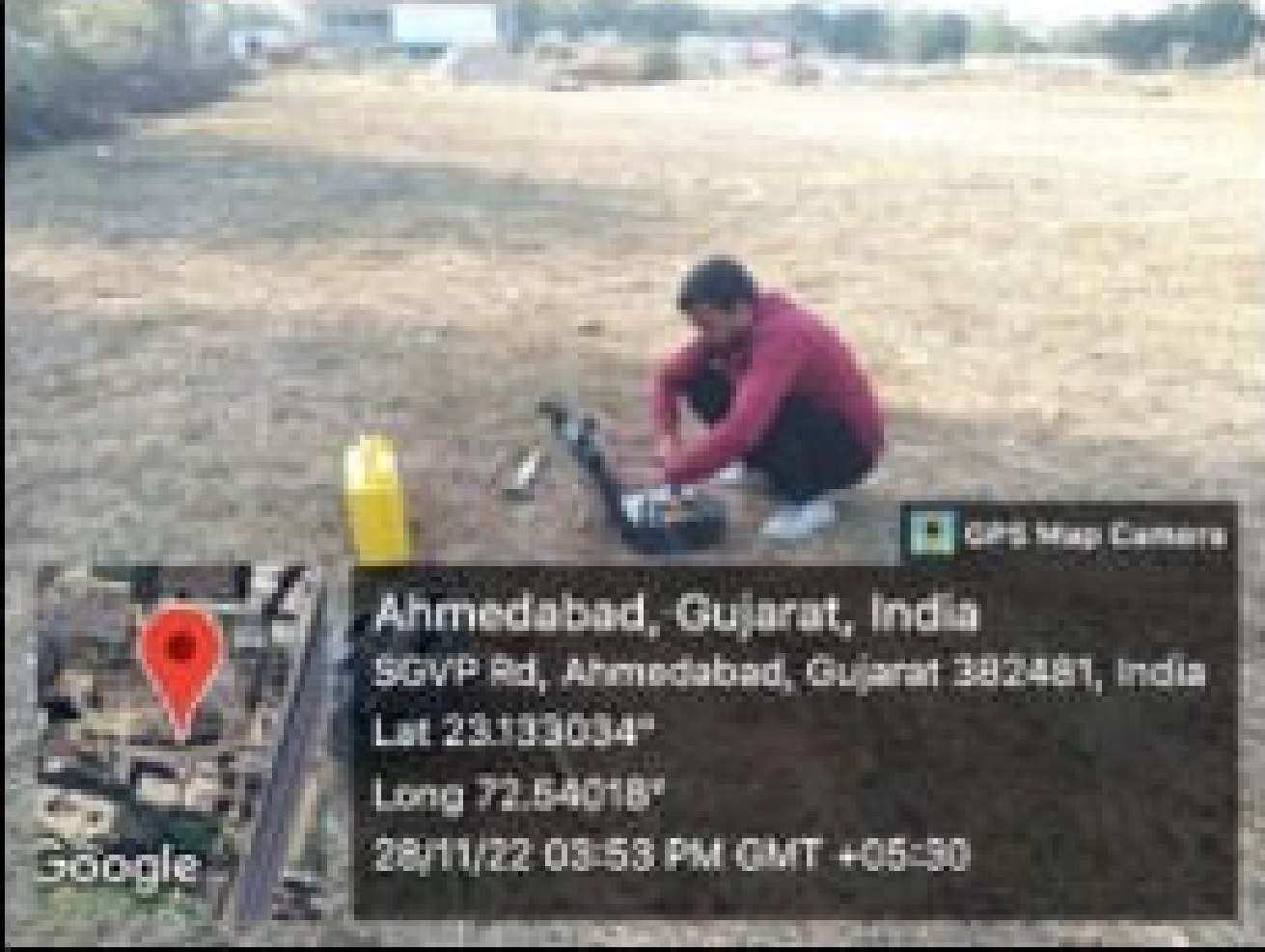
GROUND WATER STUDY
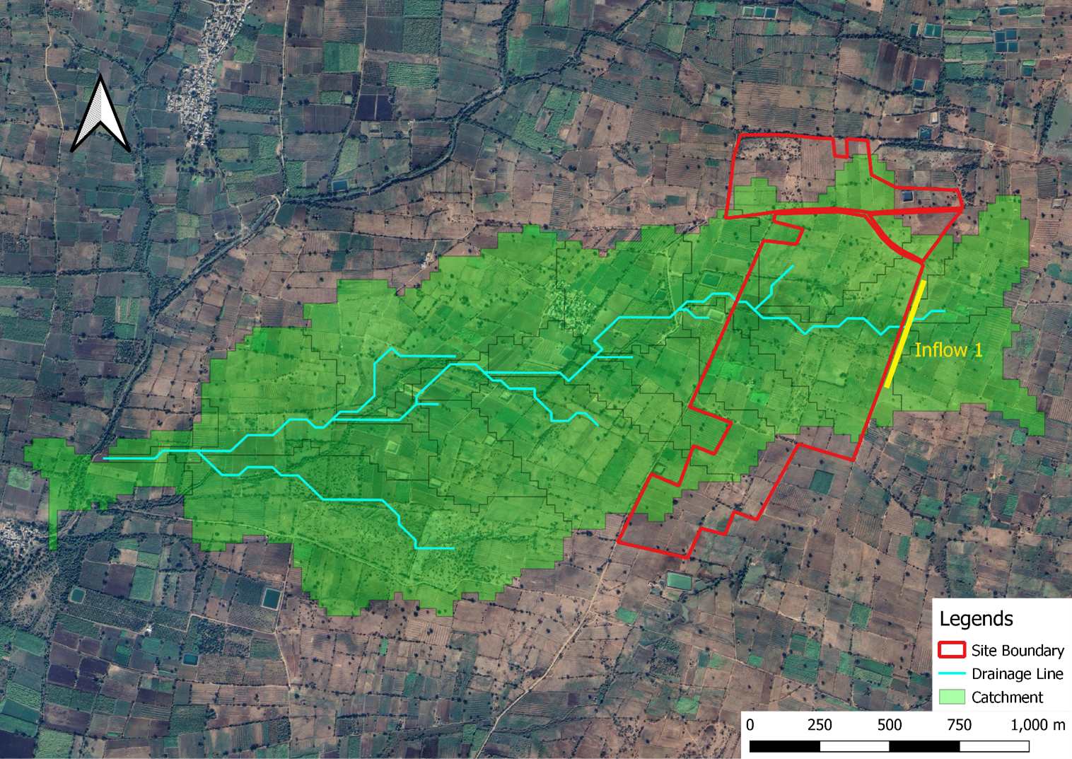
SITE DRAINAGE DESIGN - JALNA

FLOOD ANALYSIS - TAMILNADU


